
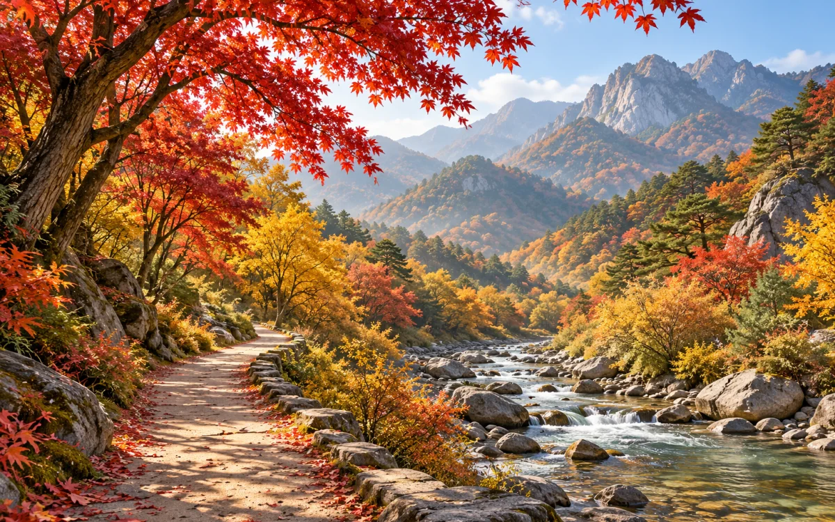
At a glance
- On the Naejangsan Nature Observation Trail and the approach to Baegyangsa, you can enjoy temples and valleys and turn back partway. Seonunsa to Dosoram and Juwangsan to Yongchu Falls have longer round-trip distances, so set aside half a day.
- Odaesan's Seonjaegil Trail runs 9 km one way from Woljeongsa to Sangwonsa. Despite its gentle-sounding name, it is close to a full day's walk. Arrange transportation out from Sangwonsa first.
- Consider Naejangsan as a day trip from Seoul only when an early outbound and return connection, park access, and a short foothill route all work together. Add a ridge walk or nearby attractions, and make it a 1-night trip.
- Your post-hike meal may require another transfer. Seoraksan's sundae dishes are in downtown Sokcho, Juwangsan's chicken dishes are in Bugok-ri, Cheongsong, and Seonunsan's eel restaurants are around Seonunsa-ro and the Jujincheon Stream.
- Divide your budget into round-trip transportation from Seoul, travel between the regional hub and trailhead, lodging, meals, and parking or admission. For Odaesan, add a separate item for pickup at Sangwonsa. Drivers should also add tolls and fuel.
Compare distance, transfers, and meals on seven routes
All comparisons assume 1 night and 2 days from Seoul. Official walking sections are distinguished from parking-area approaches, and the times below are schedule allowances that include breaks and sightseeing. Select a mountain name for a detailed plan.
On a narrow screen, swipe the table sideways to see the remaining columns. With a keyboard, focus on the table area and use the arrow keys.
| Route | Walking section | Time to set aside | Regional hub from Seoul and local transportation | Post-hike food and dining area |
|---|---|---|---|---|
| Naejangsan | Officially 3.9 km, with approach and return access separate | Allow 5-6 hours | Jeongeup Station → Jeongeup Bus Terminal → bus 171 or 171-1. Closures may lengthen the approach. | Wild greens set meal · Naejangsan entrance |
| Baegyangsa | Calculated round trip of 4.6 km from the former parking area | 2 hours 30 minutes to 3 hours 30 minutes | Jangseong Station → Jangseong Bus Terminal → bus 30 or 31. Exclude departures terminating at Yaksu-ri. | Korean set meal with wild greens · Baegyangsa entrance |
| Biseondae, Seoraksan | Calculated round trip of 6 km | 3 hours 30 minutes to 4 hours | Sokcho Bus Terminal → bus 7 or 7-1 to Sogongwon. Allow extra time for peak-season traffic. | Abai sundae · Downtown Sokcho |
| Seonjaegil Trail, Odaesan | 9 km one way. Pickup vehicle required. | 4-5 hours for walking and sightseeing, plus pickup | Jinbu Station → Woljeongsa. Confirm a reserved pickup from Sangwonsa. | Wild greens set meal · Toward Jinbu |
| Gangcheonsan | Current Barefoot Walking Trail: 5.5 km. Add a separate 1.8 km round-trip approach from the bus stop. | 3-4 hours, plus the approach | Sunchang Bus Terminal → plan on a reserved vehicle. Buses may not run in peak season. | Traditional sundae and wild greens bibimbap · Downtown Sunchang |
| Yongchu Falls, Juwangsan | Calculated round trip of 5.4 km from Sangui Parking Area | 3 hours 30 minutes to 4 hours | Plan on your own car or a prebooked vehicle. Check bookable direct services to Juwangsan for your travel date. | Wild greens dishes near the entrance. For Dalki mineral-water chicken, visit Bugok-ri, Cheongsong, on day one. |
| Dosoram, Seonunsan | Calculated round trip of 6.4 km from Seonunsa, plus the parking-area approach | Allow 4 hours including access and sightseeing | Gochang Bus Terminal → Seonunsa-bound bus. Check the return service first. | Eat near the entrance. For Pungcheon eel, visit the Seonunsa-ro and Jujincheon Stream area on day one. |
Seven foliage areas to visit from Seoul
This conceptual diagram compares the mountains' locations across Korea and the character of each trip. It is not a map to scale and does not show travel routes. Select a number to see the place description and an actual map.
See the travel guidance for each stop below.
-
Naejangsan Foothills and temples
Walk to Naejangsa and along the Nature Observation Trail in Jeongeup.
Open in Google Maps: Naejangsan DirectionsDeparting from Seoul Naejangsan
-
Baegyangsa Small-leaved maples
Walk out and back through Baegyanggol and to Ssanggyeru in Jangseong.
Open in Google Maps: Baegyangsa DirectionsDeparting from Seoul Baegyangsa
-
Biseondae, Seoraksan Valley and rock faces
Walk from Seorak-dong in Sokcho to Biseondae and back, without going farther.
Open in Google Maps: Biseondae, Seoraksan DirectionsDeparting from Seoul Biseondae, Seoraksan
-
Seonjaegil Trail, Odaesan 9 km one way
Walk from Woljeongsa to Sangwonsa and leave by vehicle.
Open in Google Maps: Seonjaegil Trail, Odaesan DirectionsDeparting from Seoul Seonjaegil Trail, Odaesan
-
Gangcheonsan Waterfalls and optional sections
Follow the valley trail, and decide separately whether to take the suspension bridge stairs.
Open in Google Maps: Gangcheonsan DirectionsDeparting from Seoul Gangcheonsan
-
Juwangsan Gorge and waterfalls
Walk from Daejeonsa to Yongchu Falls and back.
Open in Google Maps: Juwangsan DirectionsDeparting from Seoul Juwangsan
-
Seonunsan Dosolcheon Stream and temples
Walk from Seonunsa to Dosoram and back.
Open in Google Maps: Seonunsan DirectionsDeparting from Seoul Seonunsan
Which walk suits my fitness level?
At Naejangsan and Baegyangsa, focus on the foothills and temples, and add any extra approach distance from the parking area currently in use.
Set a turnaround point at Biseondae in Seoraksan, Yongchu Falls in Juwangsan, or Gujanggun Falls in Gangcheonsan, and do not extend the walk toward the summit.
Start Odaesan's Seonjaegil Trail only after confirming your return vehicle from Sangwonsa.
Day by day
A basic 2-day, 1-night plan from Seoul
On day one, reach your regional base and visit one undemanding attraction. Save the foliage walk and post-hike meal for day two.
Travel from Seoul to the local station or bus terminal and leave your luggage. Choose just one museum or historic site away from the mountain, or simply have a local dinner, then rest early.
Go to the trailhead you have checked and walk only the basic route. After your meal, collect your luggage and confirm your seat back to Seoul, and return with one or two departures to spare.
Places and meals
A foothill route linking Naejangsa and nearby hermitages.
Google MapsThe Jangseong area, with views across a pond toward a pavilion and Baekhakbong Peak.
Google MapsA valley turnaround point reached on an out-and-back walk from Sogongwon in Seorak-dong, Sokcho.
Google MapsA 9 km one-way forest trail linking Woljeongsa and Sangwonsa.
Google MapsFollow the valley from the park entrance and return the same way.
Google MapsThe turnaround point beyond Daejeonsa and a gorge of striking rock formations.
Google MapsWalk from Seonunsa through the forest along Dosolcheon Stream and back.
Google MapsWhat to choose first
Choose the scenery you want to walk through before choosing a summit. For temples and autumn leaves, consider Naejangsan, Baegyangsa, or Seonunsan; for rocky valleys, Seoraksan or Juwangsan; for a long waterside forest trail, Odaesan; and for waterfalls with an optional suspension bridge, Gangcheonsan.
Reality check
The confirmed basic connections are buses 171 and 171-1 from Jeongeup Bus Terminal for Naejangsan, buses 30 and 31 from Jangseong Bus Terminal for Baegyangsa, and buses 7 and 7-1 in Sokcho for Seoraksan. For Odaesan's 9 km one-way route and for Juwangsan, plan on a prebooked vehicle. A reserved vehicle is also more reliable for Gangcheonsan because buses may not run during peak season. For Seonunsan, connect to a county bus bound for Seonunsa at Gochang Bus Terminal.
Only Naejangsan's short foothill route is a conditional day-trip option. For the other six places, 1 night and 2 days is more realistic once local transfers and travel after the walk are included.
Rather than setting a fixed total, add up long-distance transportation, local travel, lodging, meals, and parking or admission using actual booking screens. Do not leave out the Sangwonsa pickup cost for Odaesan.
Even routes that avoid summits have wet leaves, stone steps, and risks from rising valley water. If there is heavy rain, strong wind, or a closure, cancel rather than attempting a shorter mountain walk.
If plans change
Switch to a local museum or exhibition hall whose opening that day you have confirmed. Outdoor historic sites do not count as indoor alternatives.
Skip summit directions and optional sections, and turn back near the start of an open trail. If your return connection is still tight, cancel the mountain visit and head back to Seoul earlier.
Small tip
Save the trailhead and turnaround point, not just the mountain name. Even within Naejangsan National Park, Naejangsan in Jeongeup and Baegyangsa in Jangseong have different access and routes. Seorak-dong's Biseondae and Osaek's Jujeongol are also separate areas.
Final check before departure
- Check the managing authority's trail closures, entry hours, and construction sections.
- Save both your round-trip Seoul connections and the first outbound and last return services for the local trailhead.
- Check weather, sunset, current foliage reports, and the opening hours of your lodging, restaurants, and museums.
Foliage timing, trail closures, entry hours, and local transportation change daily. Check the managing authority's notices and transportation for your actual travel date just before departure.
Information checked: 2026-10-18